Vital statistics for Lake Hāwea
Revised September 2021
Compiled by the Guardians of Lake Hāwea & Hāwea Community Association
Abbreviations:
masl - meters above sea level
cumecs - cubic meters per second
Statistics
Contact Energy operating levels for power generation: 338.0 to 346.0 masl (8m variation)
Set after the 1985 Review and as per the Resource Consent as determined by the Environment Court in 2007Minimum controlled outflow from the Lake Hāwea Dam: 10 cumecs
Maximum controlled outflow from the Lake Hāwea Dam: 200 cumecs
From September 1st to January 31st, Contact Energy can only discharge between 10 and 60 cumecs from the dam, subject to river wave consents.Lake Hāwea control dam crest height: 351.4 masl
Gladstone Gap control structure crest height: 350.5 masl
Depth of lake at normal maximum level (346.0): 389.0 m
Area of lake at normal maximum level: 149 km2
Storage volume at normal maximum level: 2680 million m3
Probable maximum flood (PMF) – Inflow: 2980 cumecs
Strong northerly winds produce a wave surge of between 1.5 – 2.5m at the southern foreshore
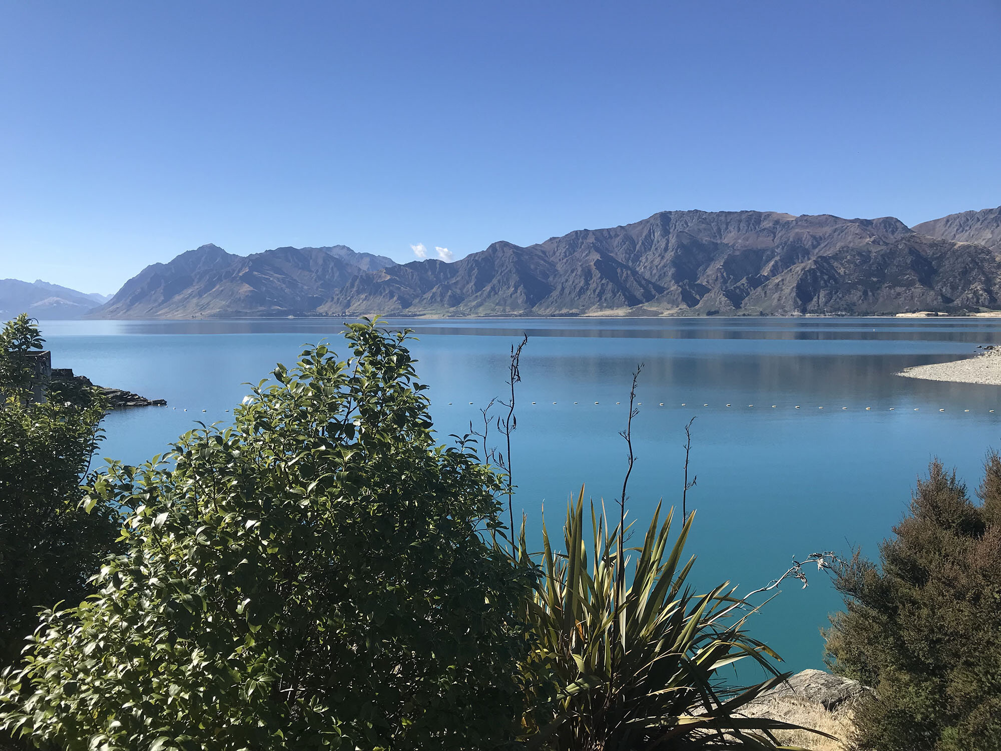
Lake Hāwea (at 346.0masl), is higher than Lake Wānaka (at 276.0), by 70m
The lake was raised 60ft (18.3m) in 1958 as hydro storage for the Roxburgh Hydro power generation. With the construction of the Clyde Hydro Dam for power generation, Lake Hāwea became the hydro storage for this facility.
Refer to the Otago Regional Council website for Otago lakes and rivers information: www.orc.govt.nz/waterinfo